
Overview
What happened to the contour lines
This page used to link out to a third-party site that hosted proper underwater contour lines for a long list of South African dams — genuinely useful for planning where to fish or launch a boat. Unfortunately that site has since been discontinued, and we haven't found a direct replacement that covers the same ground.
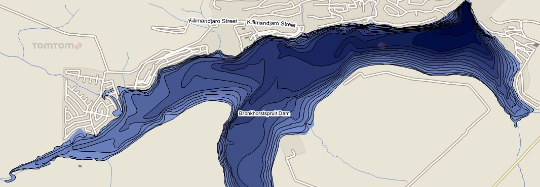
Rather than leave a page full of dead links, we've revamped it: below is the same list of dams and lakes, organised by province, but each one now opens a live satellite view of that dam instead. It won't show you water depth, but it'll get you oriented — the shoreline, the wall, the access roads — and it'll actually work. If we ever find a proper contour-line resource again, we'll swap these back.
The List
Dams by province
Free State
Gauteng
KwaZulu-Natal
- Albert Falls Dam
- Craigie Burn Dam
- Goedertrouw Dam (Lake Phobane)
- Inanda Dam
- Jozini Dam (Pongolapoort)
- Midmar Dam
- Spioenkop Dam
- Wagendrift Dam
- Woodstock Dam
Limpopo
- Arabie Dam (Schuinsdraai)
- Doorndraai Dam
- Ebenezer Dam
- Middle Letaba Dam
- Mokolo Dam
- Nzhelele Dam
- Rust De Winter Dam
Mpumalanga
- Blyderivierspoort Dam
- Heyshope Dam
- Jericho Dam
- Kwena Dam
- Loskop Dam
- Middelburg Dam
- Morgenstond Dam
- Nooitgedacht Dam
- Rhenosterkop Dam
- Vygeboom Dam
- Westoe Dam
- Witbank Dam